Description
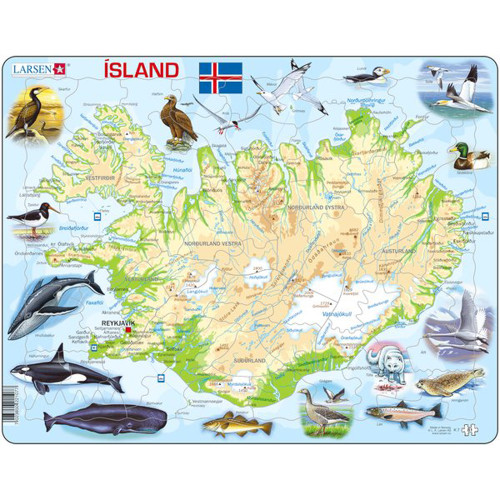
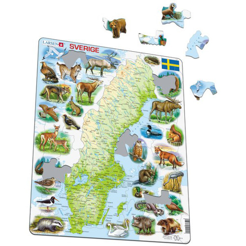
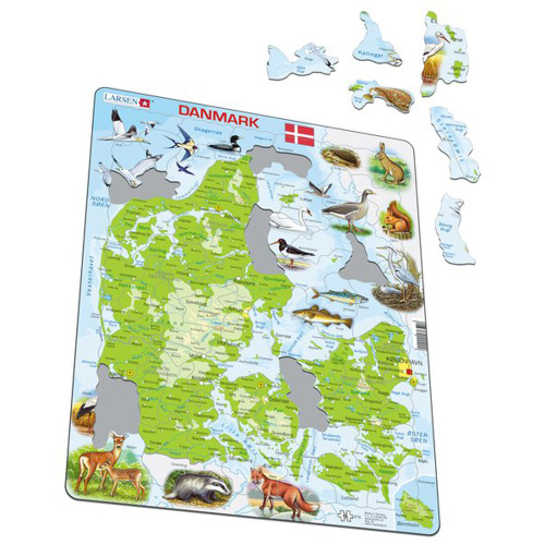
The Larsen Norden and Baltikum Puzzle (SKU: K3) is a 75-piece board puzzle and educational physical map of the Nordic and Baltic countries. Crafted in Norway by Larsen, it combines detailed cartography with interactive puzzle-solving.
Many pieces are uniquely cut along actual borders and coastlines, allowing you to physically handle and recognize the distinct shapes of nations and coastal regions.
Geographical Features
The highly detailed map features labeled landmarks, including:
- Major Cities: Located throughout the region.
- Water Features: Marked rivers, lakes, and fjords.
- Diverse Landforms: Depictions of mountain ranges, glaciers, valleys, and islands.
- Peak Elevations: Marked with names and precise altitudes in meters.
Flags and Coats of Arms
The borders display the official flags and coats of arms of the 8 represented countries, helping you study national symbols alongside physical geography.
Authentic Larsen Quality
Made in Norway, this Larsen board puzzle offers a reliable, hands-on reference for exploring the region.
Reviews
2 Reviews
-
Puzzle
Great puzzle! Very well done and easy to put together.
-
Norge map
This is a great geographical map to explore your Norwegian roots.